Olivia Krause · 20 September 2026
Heat Data and Funding Reviews Prompt Shifts in Polish Suburban Cycling Connections
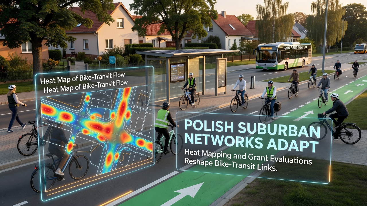
Polish suburban areas have seen transportation planners incorporate heat mapping data into decisions about bike paths that connect with rail and bus services, while grant evaluations determine which projects receive support. These tools help identify zones where high temperatures affect cyclist comfort and safety, leading to adjustments in route designs and infrastructure priorities across regions surrounding major cities like Warsaw, Krakow, and Wroclaw. Data collected through satellite imagery combined with ground sensors shows temperature variations that influence travel patterns during warmer months, prompting local authorities to test shaded pathways and water stations at key transfer points.
Integration of Heat Mapping in Planning Processes
Authorities in several voivodeships began applying heat mapping techniques in 2024 to overlay urban temperature readings with existing bike network maps, revealing corridors where extreme heat reduced usage by up to 30 percent according to sensor counts from municipal monitoring programs. This approach allows engineers to prioritize cooling elements such as tree cover and reflective paving materials along routes that feed into suburban rail stations. Researchers at institutions including teh Warsaw University of Technology have documented how these maps guide placement of new bike parking facilities near transit stops, ensuring connections remain viable even as summer temperatures rise.
Grant evaluations run parallel to these mapping efforts, with reviewers assessing proposals based on projected ridership gains and environmental benefits measured through standardized metrics from the European Commission mobility reports. Projects that demonstrate clear links between bike infrastructure and reduced car dependency score higher during funding rounds administered through national and regional programs. In practice, this means some proposals for simple path extensions lose out to those incorporating heat mitigation features like green corridors or misting systems at interchanges.
Changes Observed in Specific Suburban Corridors
Communities outside Poznan have adjusted several bike-transit links after heat mapping identified stretches along the Warta River valley that experience elevated temperatures due to limited vegetation. Planners responded by rerouting segments toward existing parkland while securing grants that fund both path construction and tree planting initiatives scheduled for completion ahead of the 2026 summer season. Similar patterns appear in the outskirts of Gdansk, where evaluations of port-area connectivity projects led to inclusion of shaded rest areas that support longer bike commutes to ferry terminals and regional train services.

September 2026 marks the rollout phase for several pilot programs funded under the latest grant cycle, including expanded real-time apps that display heat-adjusted route suggestions alongside standard transit schedules. These digital tools draw from integrated datasets maintained by the Polish Ministry of Infrastructure and local transport operators, allowing users to avoid sun-exposed sections during peak afternoon hours. Observers note that early testing in the Silesian region produced measurable increases in off-peak cycling activity once the apps incorporated temperature forecasts.
Funding Mechanisms and Evaluation Criteria
Grant programs supporting these adaptations draw from both domestic budgets and European Union cohesion funds, with selection panels requiring applicants to submit heat impact assessments alongside traditional cost-benefit analyses. This requirement emerged after earlier funding rounds showed that projects ignoring microclimate factors often required costly retrofits within a few years. Data from the International Transport Forum indicates that integrated approaches combining cycling infrastructure with climate adaptation measures achieve higher long-term utilization rates across comparable European networks.
Local governments in suburban municipalities now coordinate with transit agencies to align bike network upgrades with rail timetable changes, using grant timelines to synchronize construction windows. One project near Lodz combined heat mapping outputs with ridership projections to justify a new covered bike bridge over a major road that separates residential zones from a suburban station. The evaluation process weighed this feature against simpler alternatives and awarded funding based on expected year-round accessibility gains.
Broader Patterns Across Multiple Regions
Similar adaptations continue in the suburbs of Katowice and Lublin, where heat mapping has highlighted industrial zones that create heat islands along popular commuting routes. Planners there have shifted focus toward parallel greenways that link residential areas with bus rapid transit stops, supported by grants that emphasize multi-modal connectivity. Academic studies from the Cracow University of Economics have tracked these shifts, finding that networks incorporating both heat data and transit integration show steadier growth in daily users compared with isolated bike path expansions.
Technical standards for these projects increasingly reference guidelines from organizations such as the European Cyclists' Federation, which stress the importance of climate-resilient design in suburban settings. Evaluations now routinely include performance indicators related to shade coverage percentages and proximity to water refill points, moving beyond basic length measurements of new paths. This evolution reflects ongoing refinement of assessment methods used by national funding bodies.
Conclusion
Polish suburban transportation networks continue adapting through the combined influence of heat mapping technologies and structured grant evaluations that prioritize bike-transit connections. These processes have produced targeted infrastructure changes across multiple regions, with implementation milestones set for September 2026 and beyond. The approach relies on data integration and performance-based funding to maintain viable cycling options alongside public transit services as environmental conditions evolve.