Olivia Krause · 4 October 2026
Polish Regional Networks Adapt Bike Links After Heat Mapping Exposes Route Vulnerabilities in Daily Commutes
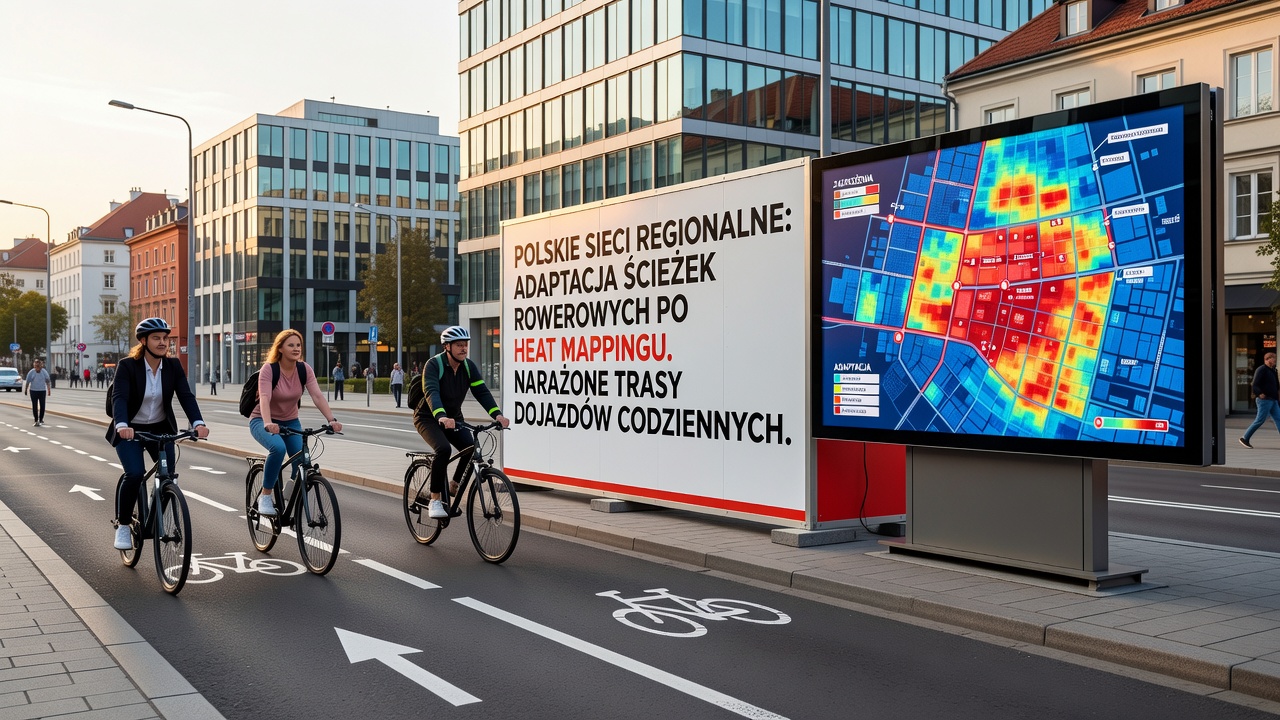
Polish regional transport authorities began rolling out adjusted bike network connections in October 2026 after heat mapping analysis revealed specific segments where daily commuter routes faced repeated disruptions from extreme temperatures and infrastructure strain. Data collected across multiple voivodeships showed that certain paths experienced surface degradation and reduced usability during peak heat periods, prompting targeted rerouting and link additions in areas like Lesser Poland and Silesia.
Researchers at regional planning offices applied thermal and usage data layers to identify these vulnerabilities, focusing on stretches where commuters traveled more than five kilometers each way. The findings indicated that older paved sections retained heat longer, leading to softer surfaces and safety concerns during afternoon returns, whereas shaded or elevated alternatives maintained consistent conditions. Authorities responded by prioritizing new connector paths that bypass these problem zones while maintaining overall network continuity.
Data Collection Methods and October 2026 Findings
Mapping teams combined satellite temperature readings with on-ground sensor data from bike counters installed in 2024 and 2025, creating layered visualizations that highlighted commute corridors with the highest exposure. In October 2026 these maps guided decisions in cities such as Kraków and Katowice, where officials approved extensions linking residential districts directly to existing greenways. The process relied on patterns observed over multiple summer seasons rather than single events, allowing planners to distinguish temporary weather effects from structural weaknesses.
Regional networks in Mazovia and Greater Poland followed similar protocols, integrating the heat data into broader mobility plans that already accounted for population growth and shifting work patterns. Adjustments included widening shoulders on parallel roads and installing new dedicated lanes across underused rail corridors, measures that addressed both heat retention and traffic conflict points identified in the analysis.
Implementation Across Key Regions
Local governments allocated funds from national infrastructure grants to complete the first phase of adaptations by early 2027, with construction crews focusing on high-traffic segments first. In one documented case, planners in the Opole region replaced a direct but exposed riverside path with a detour through adjacent woodland, shortening average commute time by three minutes while lowering surface temperatures during heat events. Similar projects in Łódź voivodeship connected fragmented neighborhoods through former industrial sites converted into multi-use trails.

Coordination between neighboring municipalities proved essential because many commute routes cross administrative boundaries. Joint working groups standardized signage and maintenance schedules so riders encounter consistent conditions regardless of which authority maintains each segment. The approach also incorporated feedback from cycling advocacy groups that supplied anonymized GPS traces from popular apps, adding real-world usage density to the official heat maps.
Broader Context and Supporting Studies
European transport reports have documented comparable challenges in other member states, where heat mapping techniques first developed for urban heat island studies found new applications in active mobility planning. European Commission transport data shows rising adoption of such combined environmental and usage analytics across EU cycling networks since 2023. Polish authorities drew on these precedents while tailoring thresholds to local climate records and existing road materials.
Academic partners at several technical universities contributed modeling tools that simulated future temperature scenarios through 2035, helping prioritize links least likely to require repeated repairs. These projections influenced decisions about material choices, favoring permeable surfaces and tree canopy integration along new routes. Observers note that the October 2026 updates represent an early test of this integrated method before wider national rollout planned for 2028.
Conclusion
The adaptations underway in Polish regional bike networks demonstrate how heat mapping can translate into concrete infrastructure changes when applied to daily commute patterns. By October 2026 the process had already produced measurable shifts in route availability across several voivodeships, with additional segments scheduled for review in the following year. Continued monitoring will determine whether these adjustments sustain performance under varying weather conditions and evolving commuter volumes.